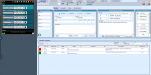
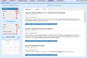
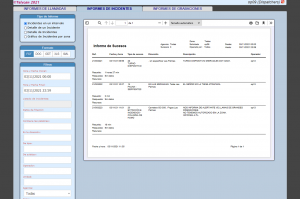
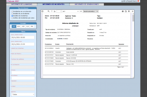
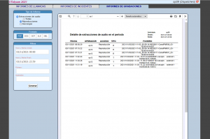
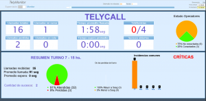
GES is a Real-Time Incident Management:
– Reception and identification of emergency warnings and geolocation of incidents on map.
– Classification according to the public Agency involved and its occurrence reporting.
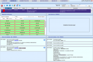
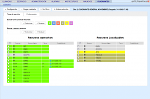
Operational workflows are made simple.
Operators can assign resources using “drag & drop” method in browser, displaying the real-time location on map and its specific characteristics continuously.
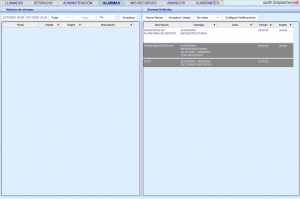
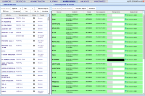
Monitoring and evolution of the incidents; administration: services, fleets, types of incidents, icons, etc.
We use propietary and third-party cookies to analize and customize your brownsing. You can authorize us by clicking on 'Cookie Settings'. If you click 'Accept cookies' only the cookies that are strictly necessary for the correct functioning of the website will be installed.
You can accept all cookies by clicking on ACCEPT ALL COOKIES or configure or reject their installation by clicking on COOKIE SETTINGS. For more information, please visit the COOKIE POLICY on our website.
This website uses cookies to improve your experience while you navigate through the website. Out of these, the cookies that are categorized as necessary are stored on your browser as they are essential for the working of basic functionalities of the website. We also use third-party cookies that help us analyze and understand how you use this website. These cookies will be stored in your browser only with your consent. You also have the option to opt-out of these cookies. But opting out of some of these cookies may affect your browsing experience.
Necessary cookies are absolutely essential for the website to function properly. These cookies ensure basic functionalities and security features of the website, anonymously.
Cookie
Duration
Description
viewed_cookie_policy
1 year
The cookie is set by the GDPR Cookie Consent plugin and is used to store whether or not user has consented to the use of cookies. It does not store any personal data.
cookielawinfo-checkbox-necessary
1 hour
Cookie managed by Telycan, S.L.
It is used to track if the user has accepted NECESSARY cookies on the website.
cookielawinfo-checkbox-non-necessary
1 year
Cookie managed by Telycan, S.L.
It is used to track if the user has accepted NON NECESSARY cookies on the website.
NID
6 months
Cookie managed by Google reCaptcha.
Session cookie by Google reCaptcha.
Non necessary cookies are not essential for the website to function properly and are usually used to gather user information on the website visitor through analysis, ads and other integrated content. It is necessary for the user to consent to these in order to install them on the website.
Cookie
Duration
Description
_gid
24 hours
Cookie managed by Google Analytics.
It is used to analyze the visitors habits, flow and browsing origin.
_ga
2 years
Cookie managed by Google Analytics.
It is used to analyze the visitors habits, flow and browsing origin.
_gat_gtag_[property_id]
Expires immediately
Cookie managed by Google Analytics.
It is used to analyze the visitors habits, flow and browsing origin.
PHPSESSID
Expires when session is closed
Cookie managed by Telycan, S.L.
Wordpress session variable.